Yerranderie is a beautiful historic township in the South Western area of the Blue Mountains. The historic sections are part of the Yerranderie Regional Park. Take a walk around the historic part of town with this video.
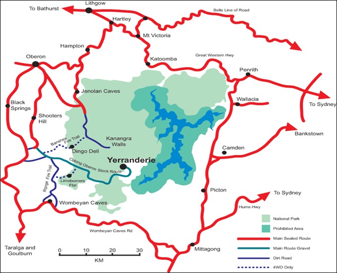
Yerranderie was cut off from Western Sydney when Warragamba Dam was built and the Burragorang Valley was flooded. As a result road access is now only via the Oberon Colong Stock Route.
There is 64 kilometres of dirt road which can be driven at about 20 – 50 kilometres per hour. The trip from Oberon is about 2 hours 20 minutes, the route shown below…..
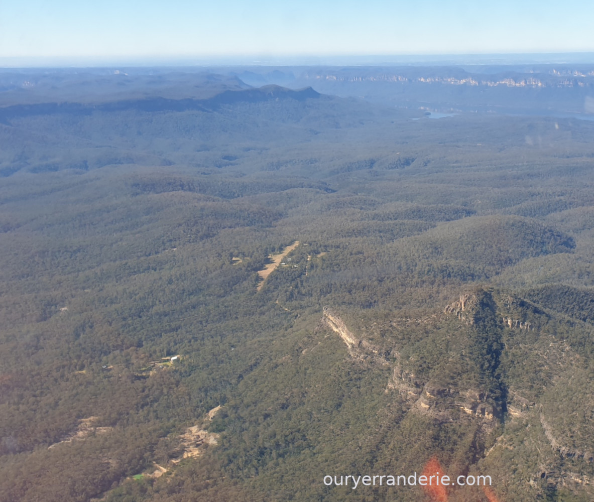
In the photo below of the South Western Blue Mountains, Yerranderie historic town is in the lower left foreground and Yerranderie Peak lower right. In the lower middle is Yerranderie airstrip with 20 Alan Street next to it. In the distance is Lake Burragorang and on the horizon is Sydney.
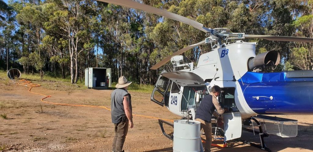
Yerranderie Airstrip is a hub for firefighting in the South Western Blue Mountains. They refuel here and pickup water from the nearby Lake Burragorang. The refuelling shed in this photo is about 200 metres north west of 20 Alan Street. This chopper put out a grassfire at Burnt Flat on the Wollondilly River. We feel pretty safe here with these guys here on the job!
Much of the land here is National Parks owned and they keep the area well maintained. Below is wattle and undergrowth clearing next to airstrip (100 metres west of 20 Alan Street).
National Parks Fire Trail Maintenance.